

Agadir to Tamri: 59 km, About 1 Hour by Road (Here's the Real Route)
Agadir to Tamri: 59 km, About 1 Hour by Road
Here's the real route — and why other sources quote anywhere from 24 to 70 km
Agadir to Tamri is approximately 59 km (37 miles) via the N1 coastal road, a drive of about 1 hour under normal conditions. If you've seen other figures ranging from 24 km to 70 km, that's real — it comes down to which exact starting point (Agadir city center, the airport, or Taghazout) and which endpoint (Tamri village or the Timlalin dune parking area beyond it) each source is measuring. The number above reflects the standard city-center-to-village route.
Why the Distance Figures Vary So Much
If you've searched this before booking a trip, you've probably noticed nobody quite agrees. Some tools say 24 km, some say 37, some say 70. None of them are necessarily wrong — they're measuring different things. A driving-distance calculator starting from central Agadir gives a different number than one starting from the airport, roughly 25 km further south. Similarly, "Tamri" can mean the village center or the Timlalin dune parking area a few kilometers beyond it, which adds further variance. The 59 km / 1-hour figure above reflects the most common reference point: central Agadir to Tamri village via the N1.
Distance From Different Starting Points
| From | Distance | Drive Time |
|---|---|---|
| Agadir city center | ~59 km | ~1 hour |
| Agadir Al Massira Airport (AGA) | ~85-90 km | ~1h15-1h30 |
| Taghazout | ~35-45 km | ~40-50 min |
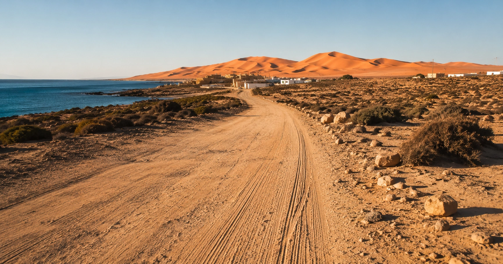
| Timlalin dune parking (beyond the village) | Add ~2-5 km / 5-10 min to any figure above | Mostly unpaved final stretch |
Every Way to Make the Trip
Self-Drive
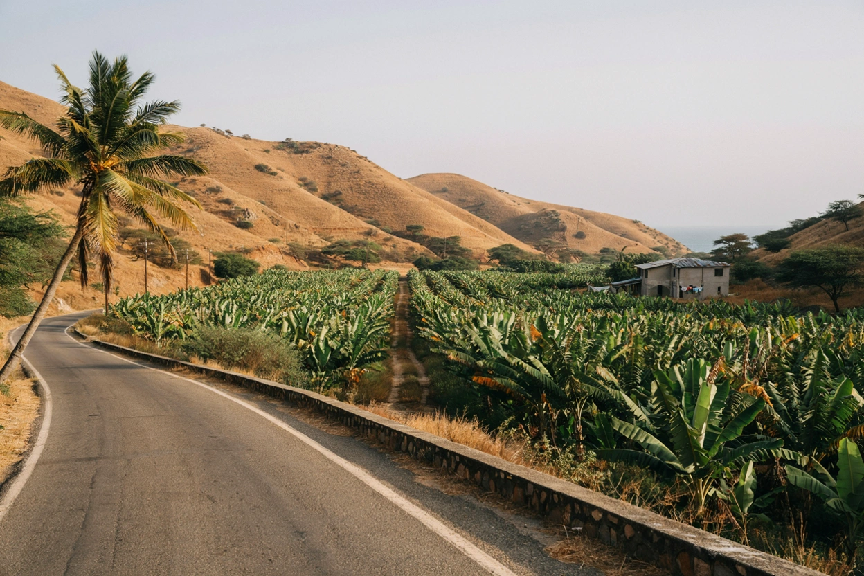
The N1 coastal road is well-maintained the entire way to Tamri village. It's a genuinely scenic drive, passing Aourir ("Banana Village"), Taghazout, and Tamraght before reaching Tamri.
Grand Taxi
Shared long-distance taxis run from Agadir's Inezgane station toward Tamri/Imsouane. Confirm the fare before departure, as is standard practice throughout Morocco.
Bus
CTM and Supratours buses on the Agadir-Essaouira route pass near Tamri but don't have a dedicated stop — you'd need to ask the driver in advance and arrange the final stretch yourself.
Guided Tour
If you're making this trip for sandboarding specifically, a guided tour handles the entire journey and activity together, removing the transport question entirely. See our sandboarding tour or, if you specifically want your own vehicle and schedule, our guide to private sandboarding tours.
Private Transfer
A pre-booked private driver is the most comfortable option if you're arriving from a flight or want door-to-door convenience without self-driving.
The Route Itself
From central Agadir, the N1 heads north along the coast, climbing and dipping past red cliffs with regular ocean views. It's a genuinely enjoyable drive in its own right, not just a means to an end. For full step-by-step directions, road conditions on the final unpaved stretch, and what vehicle type you'll realistically need, see our complete Little Sahara Agadir guide, which covers this route in depth.
Why People Make This Trip
Tamri and the nearby Timlalin Dunes are most commonly visited for sandboarding, and the area is also home to the Northern Bald Ibis, one of the world's rarest birds, along with banana plantations that give Aourir its "Banana Village" nickname en route. If sandboarding is your reason for the trip, our pricing guide and safety guide cover everything else you'll want to know before booking.
Frequently Asked Questions
How far is Tamri from Agadir in km?
Approximately 59 km via the N1 coastal road from central Agadir.
How long does the drive take?
About 1 hour under normal conditions.
Why do some sources say 24 km and others say 70 km?
Different sources measure from different starting points (city center vs. airport vs. Taghazout) and endpoints (village vs. dune parking) — see the table above for a full breakdown.
Is there a direct bus?
Not a dedicated one — CTM and Supratours buses pass near Tamri en route to Essaouira, but you'll need to arrange the final stretch yourself.
Is the road paved the whole way?
Yes, to the village itself. The final 2-5 km to the dune area beyond the village is an unpaved sandy track.
How much does a taxi cost?
Grand taxi fares are typically low but should be confirmed before departure — exact pricing varies and is best checked with your driver directly.
Is it safe to self-drive the final stretch?
Generally yes in dry weather at low speed in a standard car, though an SUV is more comfortable — see our route guide for full detail.
Skip the logistics entirely with a guided tour that handles transport and the activity together.
See the tour →Compare private vs. shared tour options before booking.
Read the private tour guide →For general trip planning, Visit Morocco remains the official national tourism reference, and Google Maps is worth checking directly for live routing before you travel, since road conditions can shift.
Distance and timing figures in this guide are cross-checked against standard routing data at the time of writing — always verify with live navigation before travelling, since conditions and construction can affect real-world timing.

AGADIR TRIP GUIDE
Related content
Interdum et malesuada fames